 HOME (Nieuwe zoekopdracht)
 ◄ ZOEKPAGINA
Alle BLAUWE tekst is aanklikbaar
klik hier voor PERMALINK in browserbalk
©
 naar resultaten
van zoekopdracht
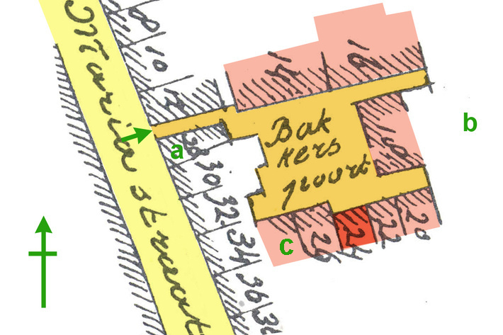
▼ KLIK voor alles over het trefwoord: trefwoord: Utrecht - Mariastraat 24 - gesloopt
|
|
|
||||||
| Utrecht - Mariastraat 24 - gesloopt | 1897.0002a |

|
|
|